Surveying is essential in mine development, providing the necessary technical data required for planning, design, and scoping potential ore body locations.
At Sahara, we’re across all areas of mine surveying in Africa and beyond. Our professional surveyors and skilled technicians utilise the latest technology and cutting-edge techniques to ensure accurate data is recorded above and below ground.
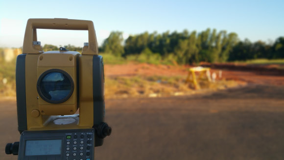
QA/QC, NETWORKS & DIRECTIONAL CONTROL
At Sahara, our surveying services are tailored to meet your individual needs. We understand the importance of control networks and our experienced team of surveyors ensure that our control surveys are well planned and are conducted in a precise and reliable manner.
We utilise both satellite, drone conventional positioning systems to establish our control network surveys for small or large geodetic networks.
OPEN PIT & UNDERGROUND MINE SURVEYING
Sahara’s quality and cost-effective survey solutions are suitable for all stages of mine development, from grassroot exploration to decommissioning for both surface and underground mines. We ensure that your projects are completed in a timely fashion to the highest quality.
STOCKPILES
Stockpiles for waste rock, low or high-grade minerals play a key role in the operations of mines and quarries. Accurately calculating the volume of stockpiles provides key information for planning and decision-making. Our cost-effective and timely stockpile survey solutions enable you to determine the exact figures concerning the volume of your stockpiles.
PIT WALL MONITORING
With shallow minerals depleting across many projects globally, there is a greater need to mine deeper for minerals. This coupled with economic pressures has resulted in mine planners opting for steeper pit walls, which comes with added risks.
Our experienced surveyors utilise robust equipment and safety procedures to effectively monitor pit walls and ensure safe operations are maintained in mines. Our Pit Wall Monitoring services eliminate all forms of risk and unnecessary downtime.
AERIAL IMAGERY USING DRONES
Aerial surveying is one of the most popular surveying techniques to collect accurate data across large tenements, fast. Our survey team can assist with your surveying requirement, using an array of UAVs or drones, including Multirotors for fairly sized areas, fixed wings for very large areas, and vertical take-off and landing (VTOL) capable aircrafts for very large areas with little or no landing and take-off space.
We utilise the best drones on the market to reduce data capturing and processing times and provide timely and useful data to our clients. Our certified and well-trained drone pilots have more than 1000 flying hours capturing data with UAVs or drones.
LASER SCANNING & 3D MODELLING
Laser scanning and 3D modelling can return high-quality data in highly congested areas that are difficult to survey using traditional survey methods.
At Sahara, we utilise modern high-definition laser scanning technology to generate accurate three-dimension data in a timely fashion. Through our cost-effective laser solution, we can create 3D models of existing infrastructural or building conditions to be translated into survey documents. Our tools quickly and effectively capture 3D point clouds of surfaces to enable you to reduce your construction time.